Haw’aa to Haida Gwaii PART ONE
Haida Gwaii (formerly known as the Queen Charlotte Islands) is a misty and mythical land just a few hours ferry ride and at the same time, a world away. My last visit was a trip to celebrate my 12th and my father’s 75th birthday… many moons ago. Memories of this place were snapshots of rich scenery and good times with my family. It was my husband Cam’s first visit, and recently we were blessed with two long summer evenings and one full day to explore.
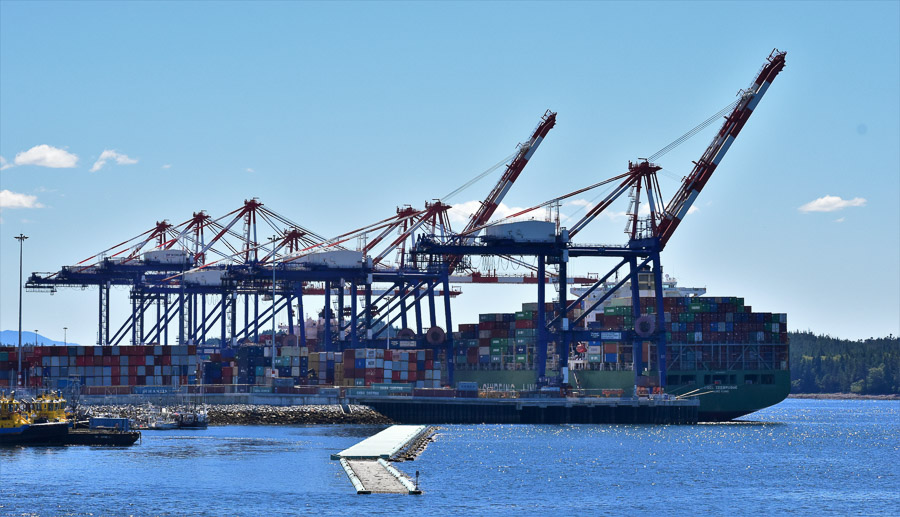
As it turned out, we had a lovely sunny and calm day for the voyage across the sometimes (mostly in winter) tempestuous crossing of Hecate Strait from Prince Rupert to Skidegate. The ferry has two main outdoor decks to wander around on – one covered, and one not – and the view from up top was lovely. The ferry docks near the Fairview Terminal, so while waiting to depart, there was an interesting view of a container ship being loaded.
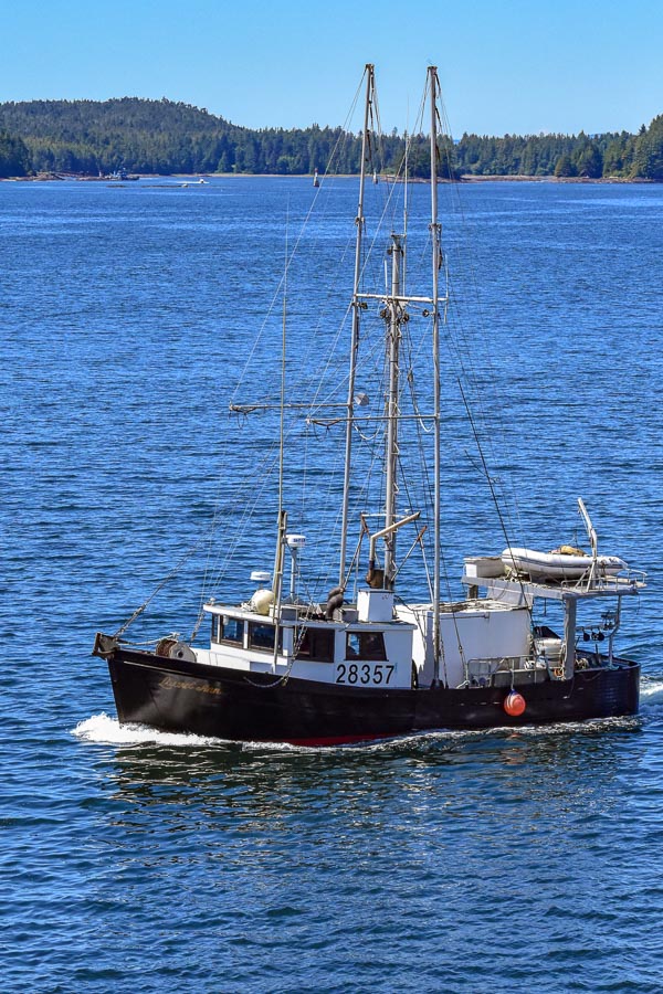
And typical fishing boats zooming by.
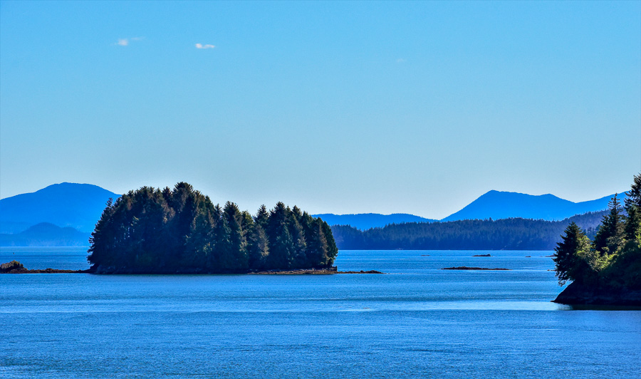
Leaving Prince Rupert harbour there are interesting views of the many islets around
And a water view of the Ridley Island Coal and Grain Terminal as well.
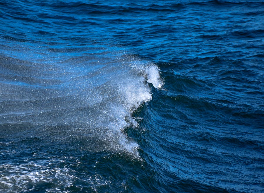
Eventually, we reached the open water of Hecate Strait and a little wind picked up, but nothing serious.
We arrived shortly after 10 pm, but beautiful pink sky led us to our lodging in Tlell. I regret not stopping for a photo of the glowing pink horizon during the half hour drive, but we wanted to make it to our accommodation before darkness.
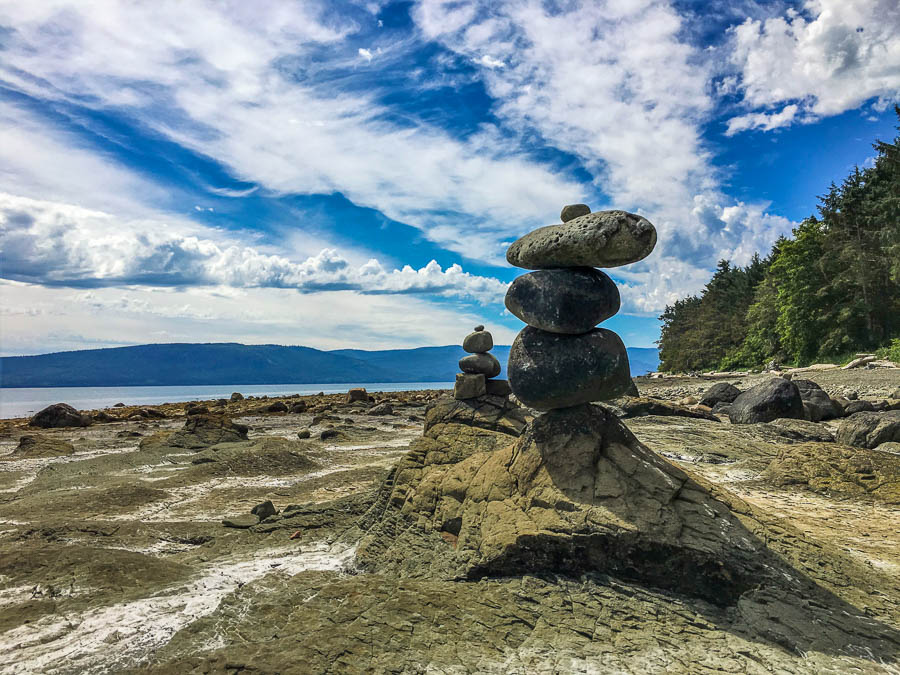
We started the day in Skidegate and took a few minutes while driving north to stop by Balancing Rock. It is still balanced there, despite generations of both locals and visitors doing the classic “try to push it over” photo. Here is my 2018 version of the photo. One day when I have time, I’ll try to find my circa 1984 version of the same shot for comparison.
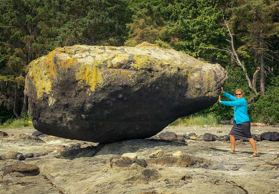
This must-see sight has super easy access via a 10 second trail from a well signed, small pullout parking area on the right side of the road as you are heading north. A sign asks visitors to please be respectful of the rock and its surrounds. To avoid wear and tear on the rock, angle your photo so that you are not actually touching it, as (spoiler alert!) I did above (no wonder I couldn’t push it over!). This rock looks fabulous on its own as well.
There is more there to see than just the one iconic rock, however. Others have taken it upon themselves to create other artwork by balancing smaller rocks.
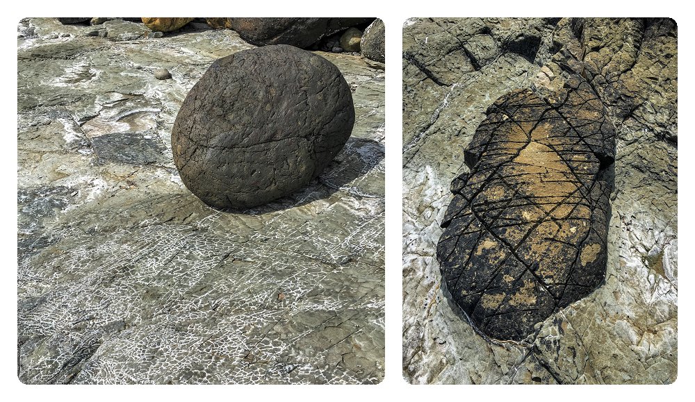
Even the rocks just laying around I found interesting
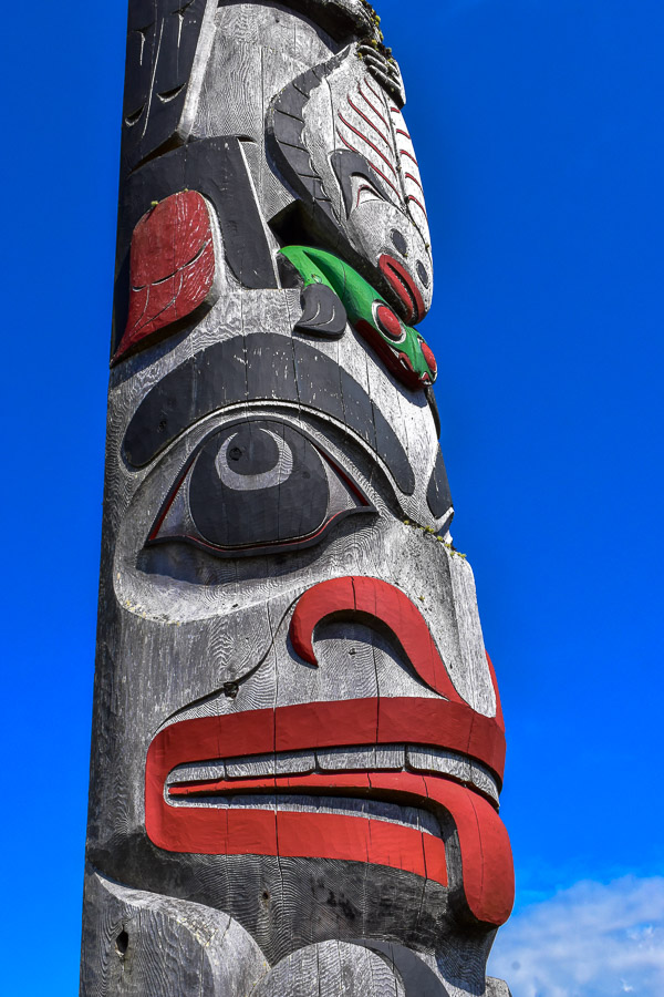
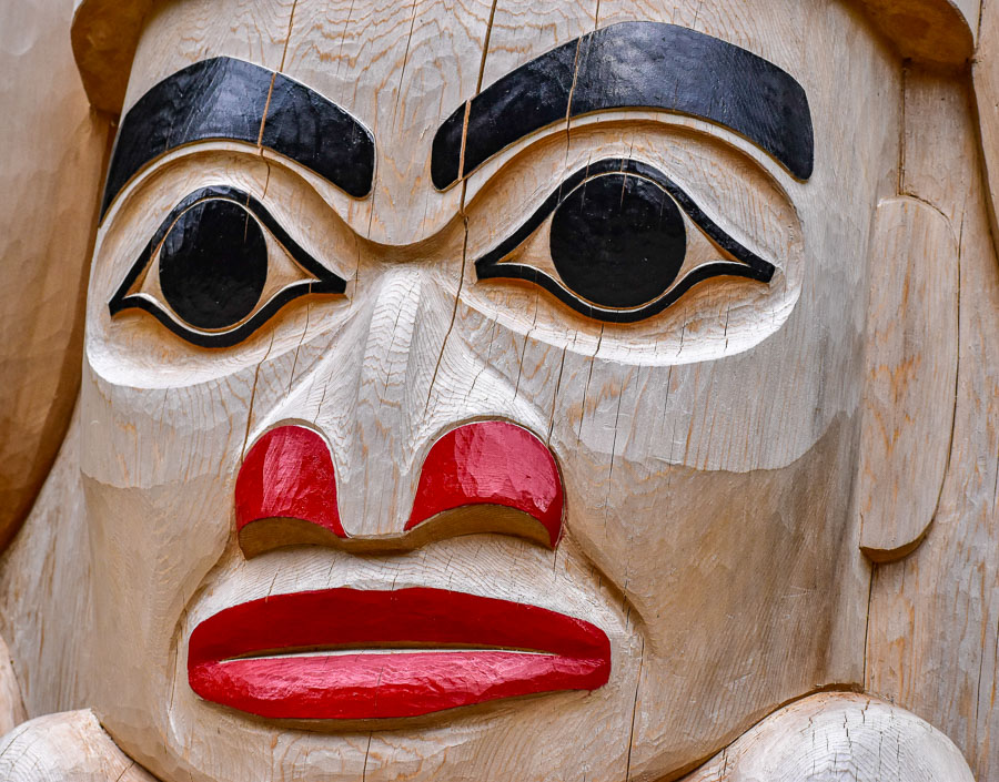
That evening we wound up in the community of Old Masset on the northern part of Graham Island. With a glorious blue-sky background, the totem poles at the Village administration office looked particularly impressive.
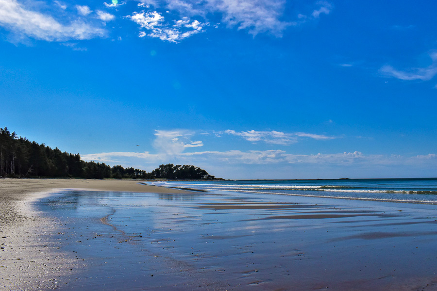
It was a gorgeous sunny day, and the beach was calling. After about 30 minutes of driving along the Northeast shore of Graham Island, into Naikoon Provincial Park, we arrived at Agate Beach.
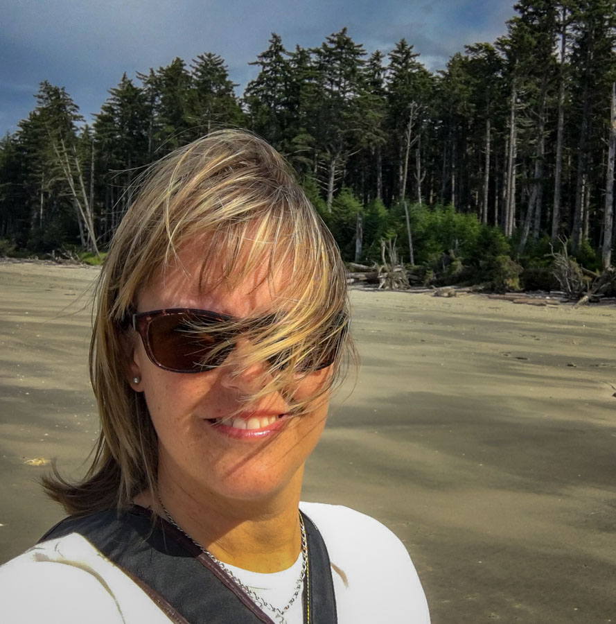
Agate beach and campground is a lovely place for day use, as well as camping. There were several souls out learning to surf in the mild waves on offer that day. Cam and I wanted to walk the beach and as my mother would say, “let the wind blow out the cobwebs.”
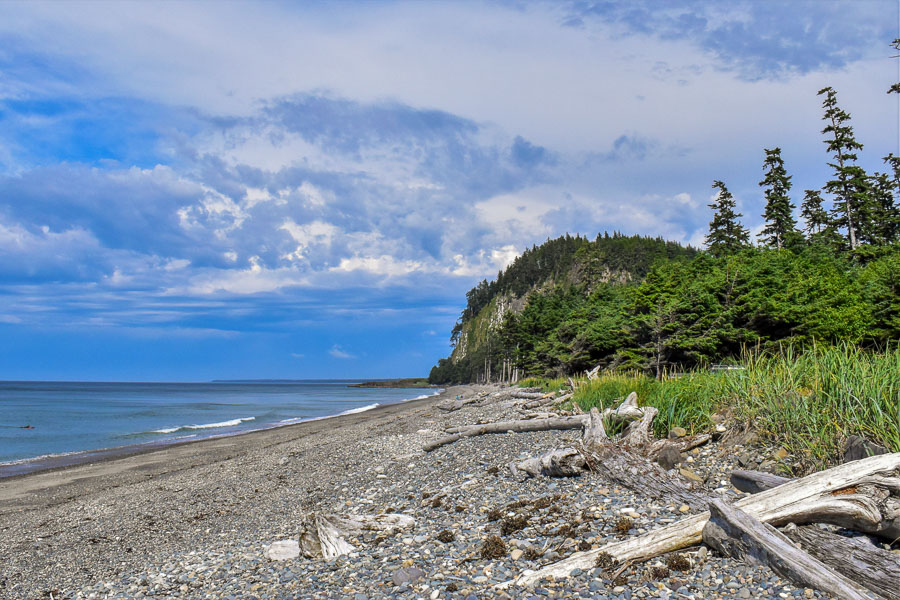
It is a great place for beachcombing. And yes, for the rock hounds among us, agates can indeed be found there. We looked behind us and got a great view of the cliffs of Tow Hill.
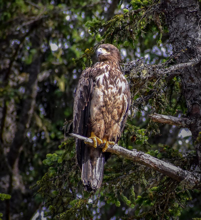
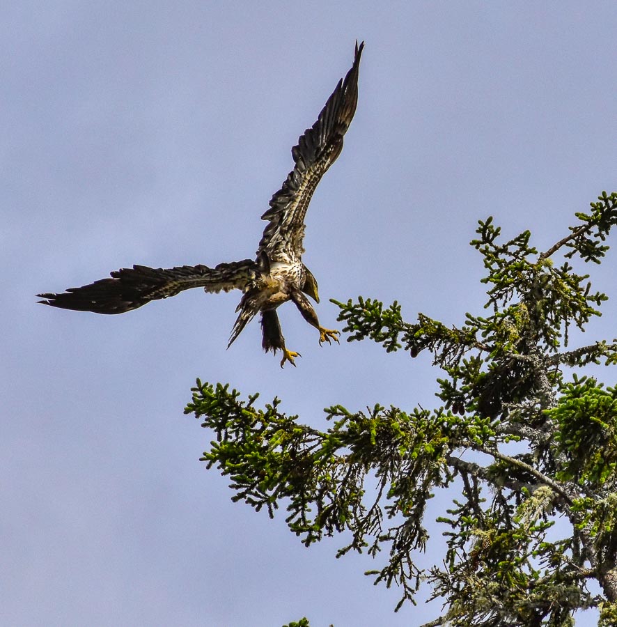
Along our route, we were entertained by eagles. They were swooping around, scanning the ocean for unsuspecting fish and perching high in the treetops wondering what we were about.
This immature bald eagle was particularly communicative, I think he wanted to tell us about the saucy capri pants he (she?) was wearing…. but later, he seemed to settle down.
We wanted to climb the trails and explore Tow Hill – it was, after all RIGHT THERE – but we weren’t sure when restaurants in Masset were closing and we did not want to risk missing dinner. It is so easy this far north to be enjoying the summer evening in the outdoors, only to look at your watch and realize it is not the 7 pm it feels like, but actually is 9:30 pm and still light out.
Charters was recommended to us but was completely full so we made reservations for the next day. We wound up at a place called the Mile Zero Diner, named after the fact that Masset is the beginning of Highway 16, a.k.a. the Yellowhead Highway that runs down through Haida Gwaii, continues from Rupert, past Prince George, through Alberta, Saskatchewan, finally terminating in Winnipeg, Manitoba. It was a tasty, basic meal, and Cam was quite pleased in particular with the garlic prawns.
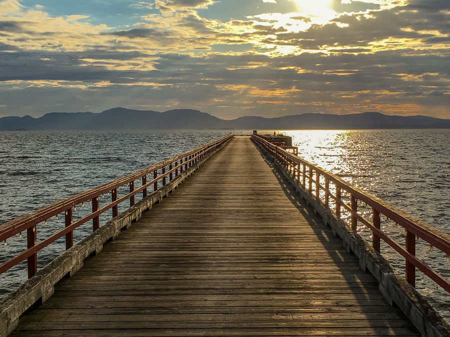
Driving south after dinner, we stopped at Port Clements along the main road, roughly half way between Masssett and Tlell. We popped by to see what was there. A quiet village with a picturesque wharf and a pier that was stunning in the day’s dying light.
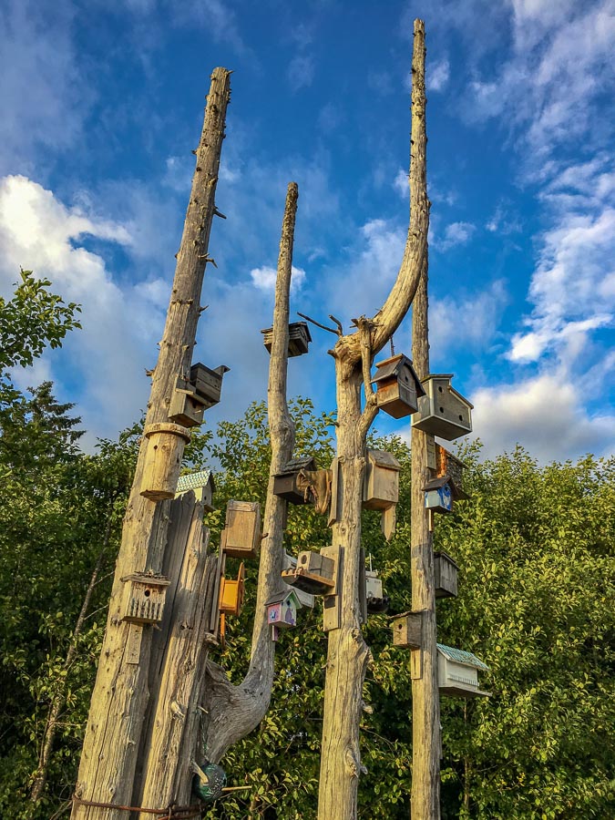
I loved the creativity of the interesting birdhouse tree, overlooking the water, festooned with a variety of contributions.
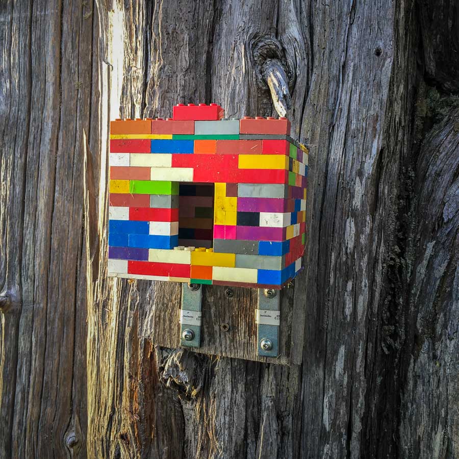
It was a close call, but in the end, my favourite was the Lego house.
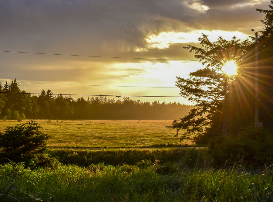
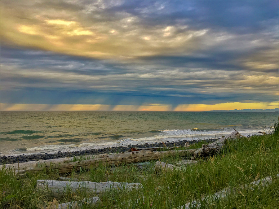
Arriving at Tlell, the sun was fading and I couldn’t resist a few more photos before the day disappeared.
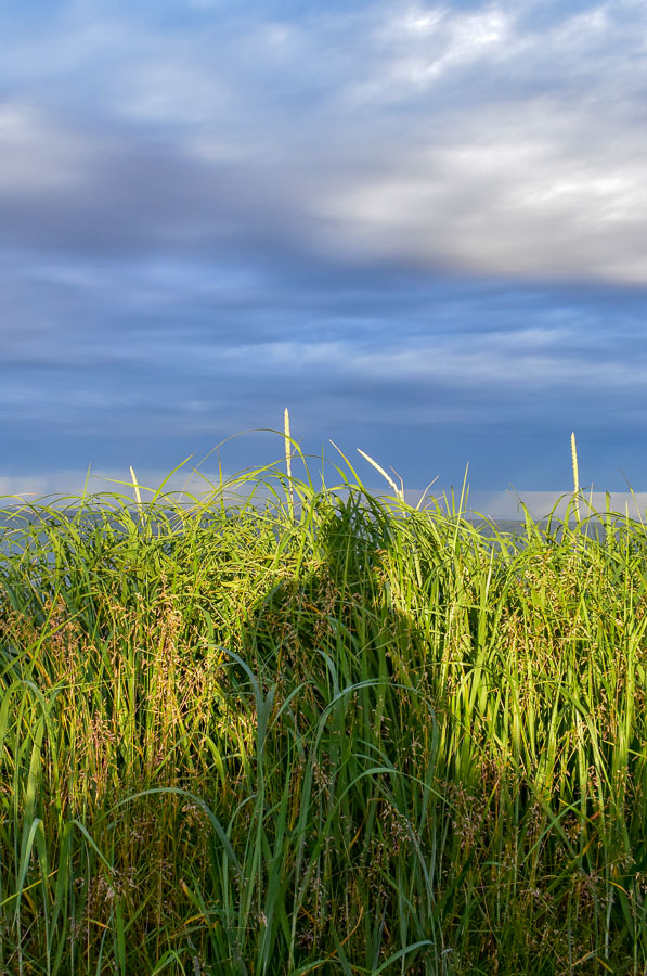
On the horizon, the rains were visible. From this far away, they were beautiful.
Time to say goodnight to another glorious Haida Gwaii day.
The next day, we tried breakfast at nearby Haida House in Tlell. It was a little on the pricy side, but the food was good and we had a wonderful waitress helping us out. Aboriginal owned and operated, I would like to return to Haida House one day, and further explore the area.
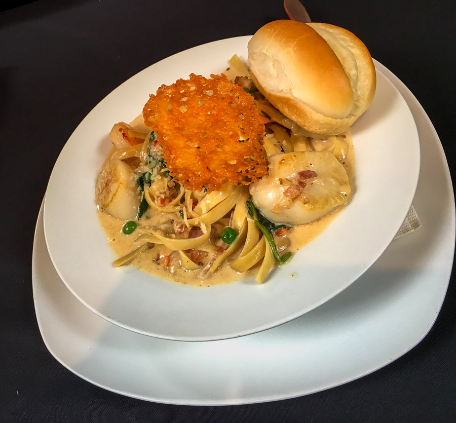
The following evening, we ended up in Masset again. This time, we chose to eat first and then do a well-fueled explore. We’d made a reservation the day before to sample the tasty food on offer at Charters Restaurant. As a non-seafood eater, I can’t comment, but Cam declared the scallops in his seafood pasta the best he’s ever had.
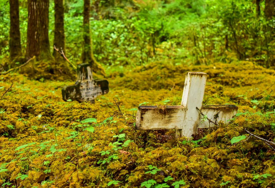
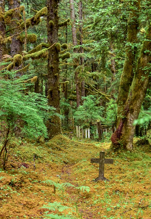
My mother lived on the islands early in her nursing career, and years later, during our visit when I was a child she showed me some of her favourite spots. One of these is the Masset cemetery. I wanted to revisit it, as my child’s brain remembers it as a magical place. It didn’t disappoint.
If you are looking for a quiet, spiritual place to respect and appreciate life in all it’s forms, this is it.
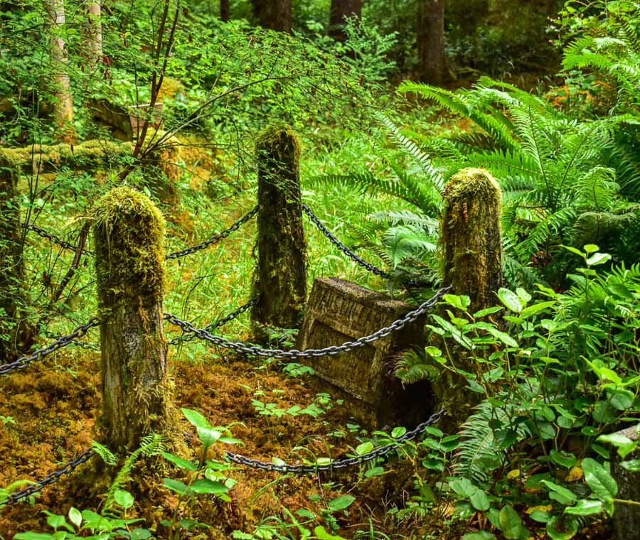
It is the greenest, mossiest cemetery I have ever been in.
The moss is on the ground, on the posts and graves, and grows in thick bunches on the trees as well.
From there, we continued eastward into the vast and wild Naikoon Provincial Park. This time, Tow Hill and the blowhole were our destinations.
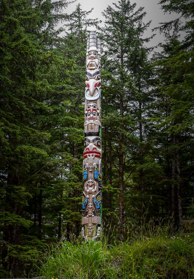
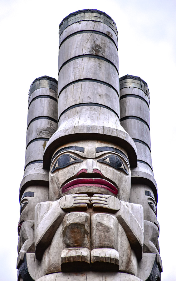
Before tackling the trail, we did a brief detour and crossed the bridge over the Heillen River and marveled at the complex’s spectacular totem.
It was colourful and relatively newly raised, keeping watch over the Heillen River banks.
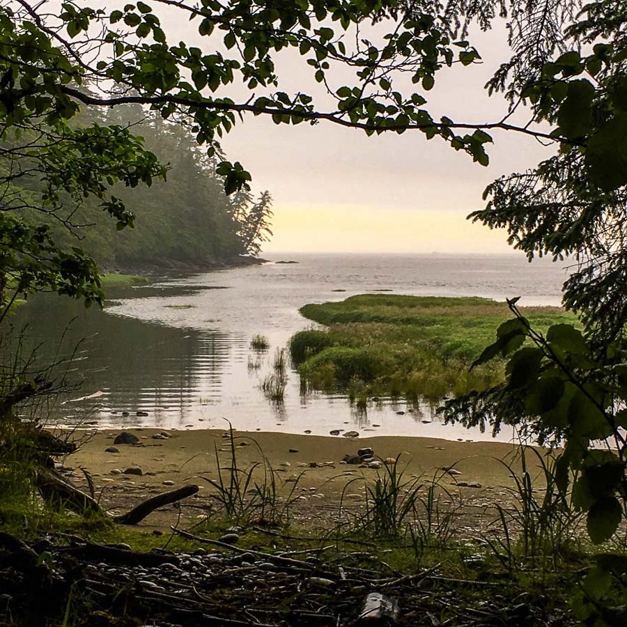
The weather was grey and beginning to get misty, as a result, we had the Tow Hill trails all to ourselves.
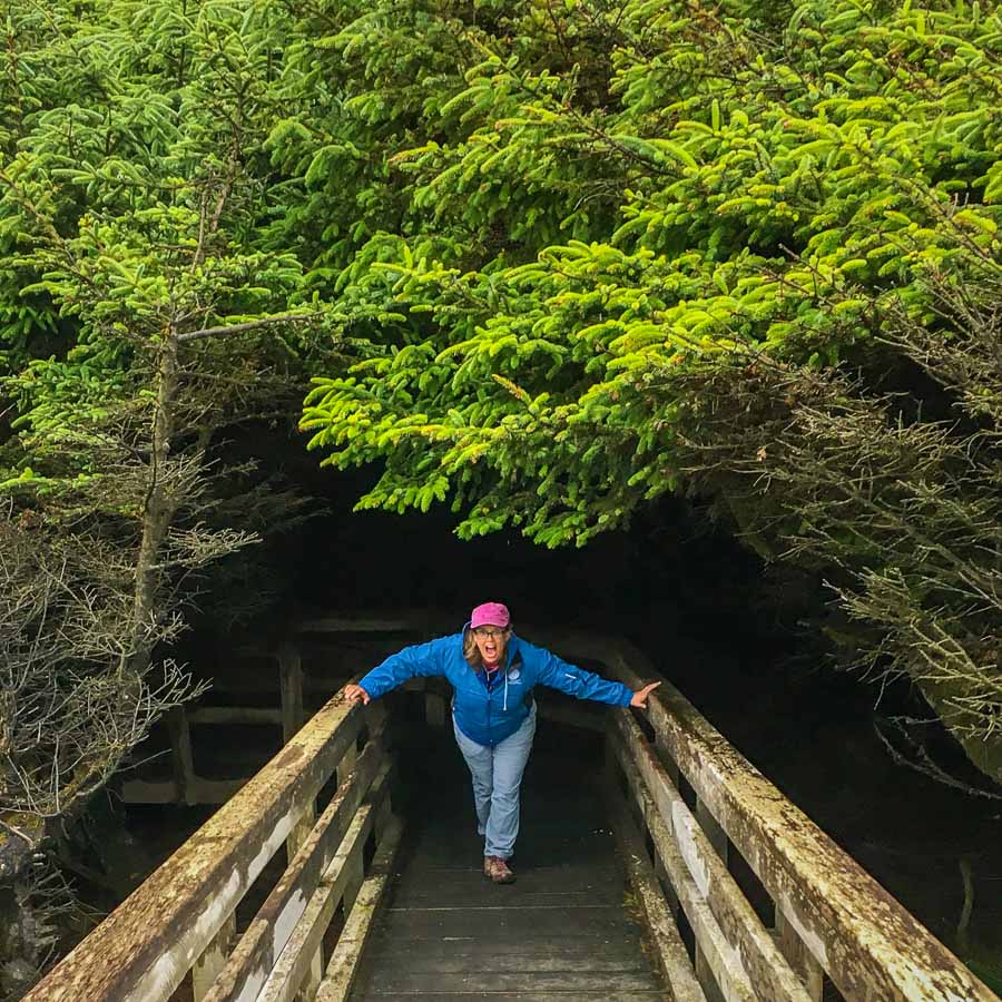
We started with the flat wheelchair accessible boardwalk trail that led to the blowhole site and had a little fun with this tree tunnel.
This easy trail ended near the base of the 400-foot cliffs of Tow Hill.
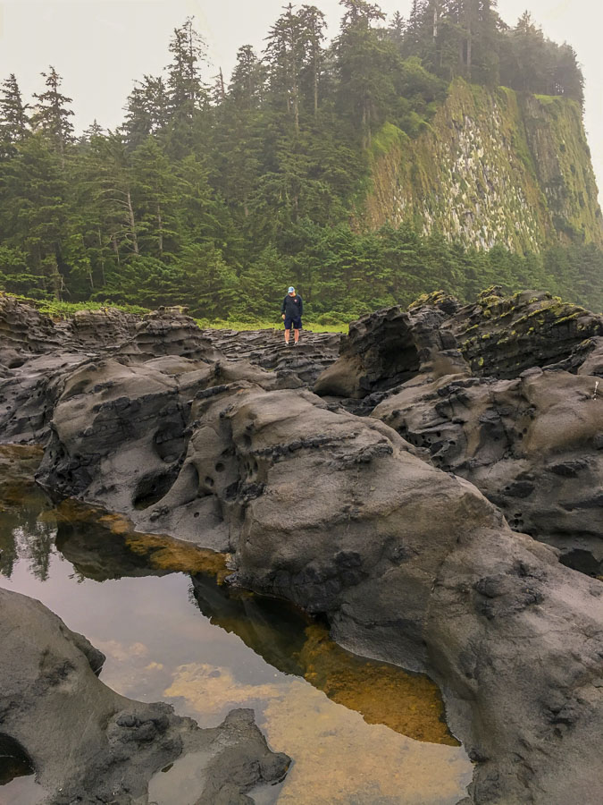
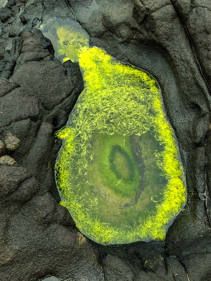
Our timing didn’t coincide with the high tides and rough surf that is needed to get the most spectacular view of the blowhole. We were not disappointed at all though, as the volcanic rocks here on the bluff were super interesting and we enjoyed exploring their nooks and crannies. Be careful with your footing here. A fall on these rocks would not be forgiving.
Some of the volcanic mini-craters had standing water in them and support various forms of life. This “puddle” reminded us of a green geode.
Cam wasn’t feeling well and decided to head back. We agreed that he would wait in the vehicle while I completed the connector route and hiked to the top of Tow Hill – at least one of us had to make it up there!
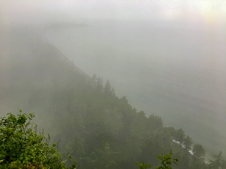
The fog was creeping in and I had to bust a gut to get to the top before the view disappeared completely. It was a race against time I wasn’t sure my lungs could handle. As I approached the summit, an eerie yet beautiful sight awaited.
The classic view down onto the previous day’s destination of Agate Beach was not exactly clear.
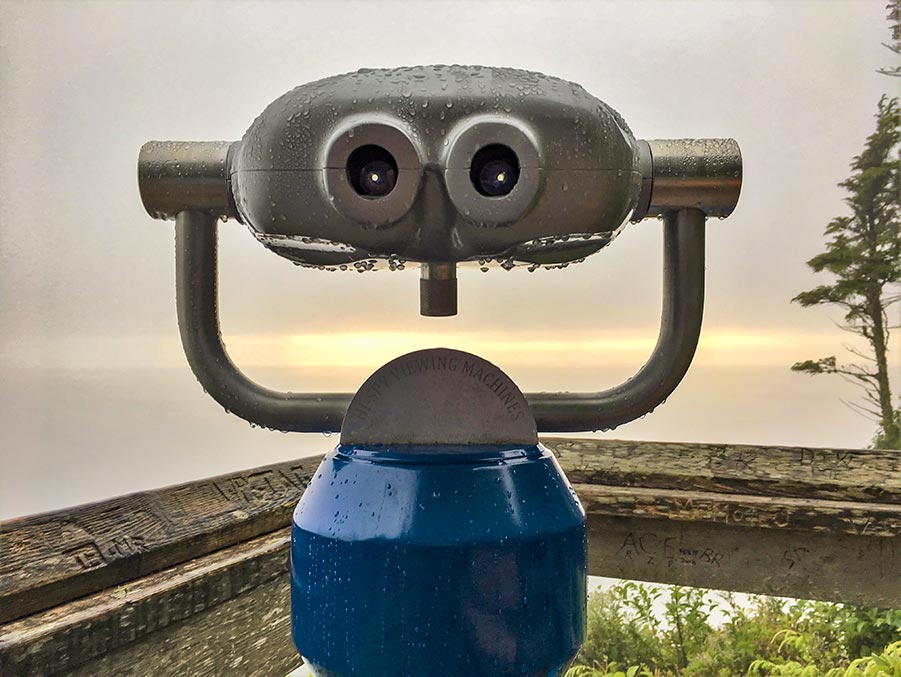
However, it had its own charm. I felt alone at the top of the world. My only companion, the now-useless public binoculars guy. He was happy to see me though, so I wasn’t really alone.
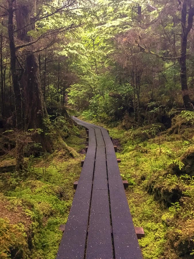
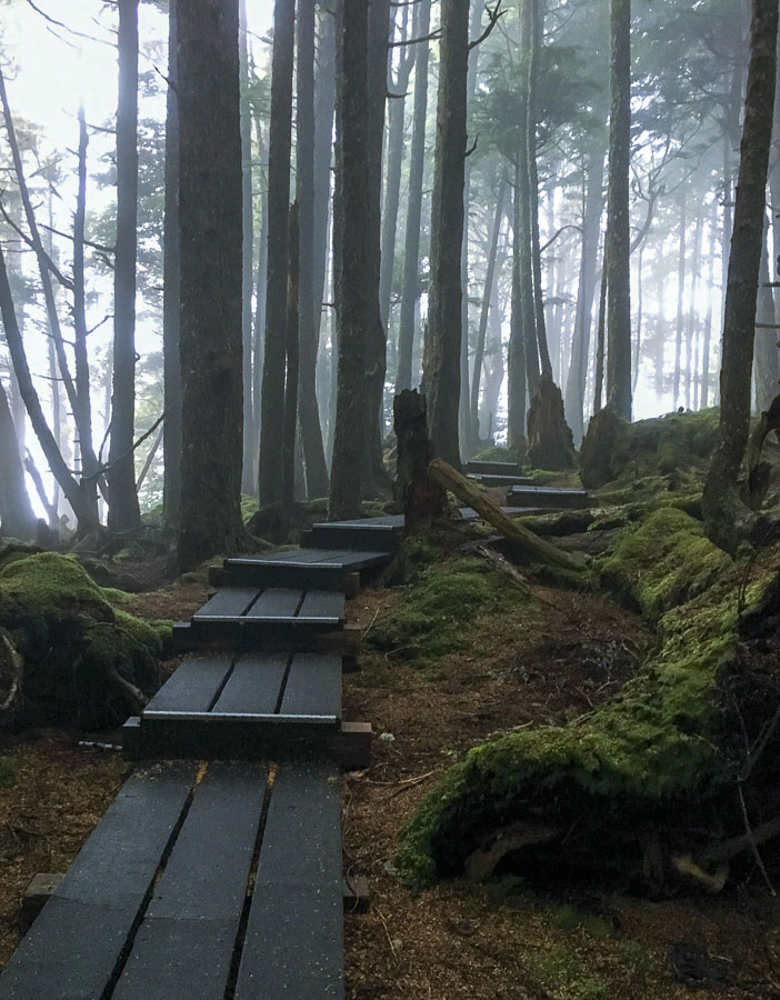
No time to dally as it the light was struggling against the fog and Cam was waiting for me. I scampered down on the trail on the other side of the mountain on the narrower trail. Despite the damp, it wasn’t slippery – my footing was secure thanks to the grippy covering on the planks.
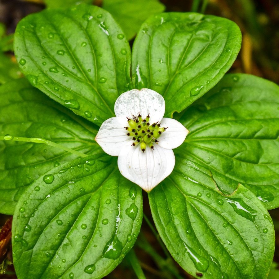
I stopped at one point to just listen. It wasn’t raining, yet fat raindrops fell, making satisfying splatty noises on contact. Fat raindrops created by smaller drops intermingling in wee pools, gathering until they were too much for one leaf to handle; released suddenly to join with other drops made of mist and magic.
To be continued…. In part two
“Opinions provided in this post are entirely my own. I was not paid or compensated by these businesses or organizations to provide a positive review. I only recommend products and services that I have personally tried and loved.”






Another great article. Awesome pictures. Would love to get together again.
Thanks Suzanne! I finally figured out how to respond to comments on this thing! LOL. Can’t wait to read about your recent trip, I bet you have a tonne to talk about!
I really enjoyed your blog. The pictures are wonderful and very interesting commentary. I lived on the Queen Charlotte Islands in the early 60’s and worked as a nurse with Heather’s mother. Great times. I never made it up to Massett, so this was all new territory to me.
Hi! Thanks for reading… part two is posted and talks more about your neck of the woods in QC a little more.
Spectacular! Great trip planning info. Must go,
Thanks for the note! Yes you should definitely plan a trip. It is unforgettable!